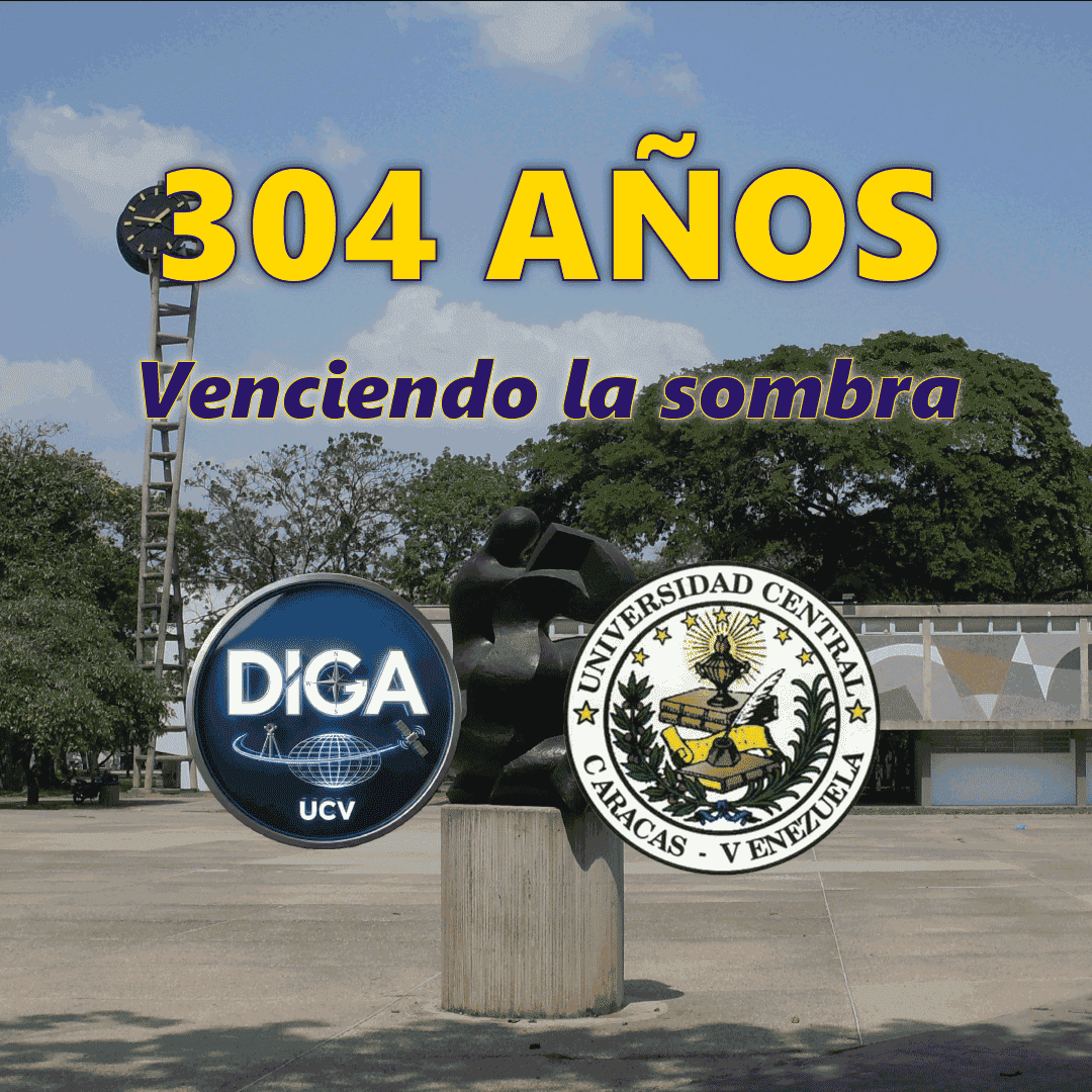
The Department of Geodetic Engineering and Surveying (DIGA) of the Central University
of Venezuela, is in charge of academic training on behalf of the Geodesy Engineers
in the country, there being only two institutions in Venezuela where knowledge of
this guy.
The first school where the Surveying career was taught was founded at the Central University of
Venezuela in 1879, where 11 classes of Surveyors graduated. In 1893 the School of
Surveying became the School of Civil Engineering and was integrated into the Faculty of Sciences.
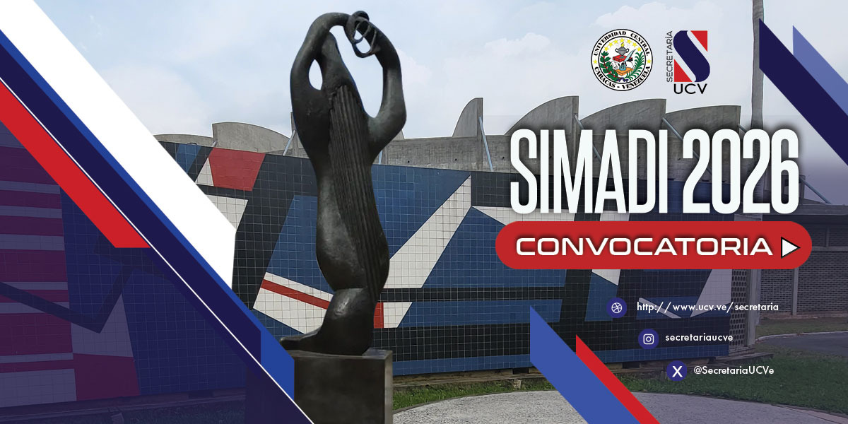
Currently, DIGA is one of the five departments attached to the School of Civil Engineering in the
Faculty of Engineering and currently has its administrative headquarters on the Ground Floor of the
building
Sanitary Engineering.
The Department teaches undergraduate subjects to students who aspire to the title of Geodetic Engineer,
taking
also Mandatory undergraduate courses for other specialties, such as Civil Engineering and Mining
Engineering,
So as others that may be
taken through the Interfaculty Cooperation Program (PCI) by students of any specialty
undergraduates who are enrolled in the Central University of Venezuela.

Prof. Douglas Bravo / Head of
department
Profa. Rosa Benitez
Prof. Jorge Muñóz
Prof. Gilberto Swanston
Prof. José R. Blanco
Prof. Victor Vilacha
Prof. José Crespo
Prof. Juan Machado
Prof. Carlos García
Prof. Juan Sheuat
Prof. Miguel Ríos
Prof. Ruy Pereira
Prof. Humberto Linares
Prof. Juan C. Mier Y
Teran
Profa. Karolayn
Winsintainer
Midian Veroes /
Secretary